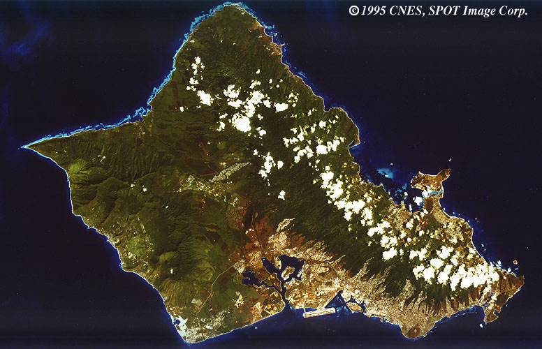
 The island of Oahu is one island in the Hawaiian Island chain and part of the state of Hawaii. The capital of Hawaii, Honolulu, is on the south side of the island. Pearl Harbor was the location of a surprise Japanese air attack on December 7, 1941. In this image, provided by SPOT Image Corp., Pearl Harbor can be seen extending inland at bottom center. The Memorial for the U.S.S. Arizona - which was sunk in the harbor during the attack - is on the east side of the harbor.
Visible in this image: Honolulu International Airport off the southern shore at the opening of Pearl Harbor, the city of Honolulu as a grey/white area extending north and east of the airport up to the mountains which are dotted with a line of clouds. North shore reefs (Waimea Bay area) are light blue fringing the coastline, and Diamond Head - a volcanic crater - is visible as a brown circular feature projecting from the coast of southeast Honolulu.
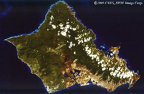
 (unlabelled - 118k) (unlabelled - 118k)
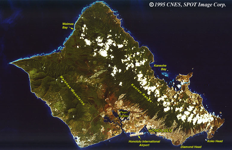 (labelled - 126k) (labelled - 126k)
|
The Answer: Oahu |
|
|

|