 |
 |
|---|---|
| Plate E-17 | Map |
|
|
|---|---|
| Plate E-17 | Map |
Approximately one-third of Australia is classified as arid, and another one-third is semiarid (Langford- Smith, 1982). Unlike other desert areas in the world, almost one-half of these deserts is composed of sand, of which about 50 percent are vegetated sand sheets (Figure E-17.1). Linear dunes dominate the remainder of the sand areas.
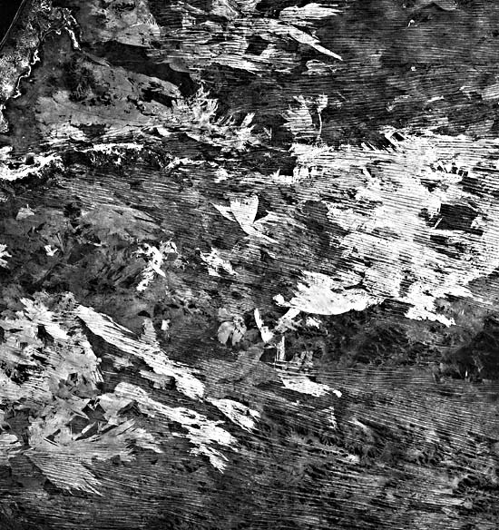
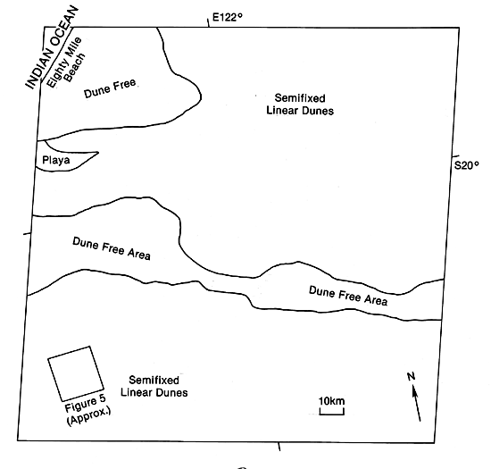
The Great Sandy Desert is a 360 000-km2 expanse in northwestern Australia. As evident in this Plate, much of the desert consists of semifixed linear dunes. Because of the stability of the dunes and the suggestion of a developing soil profile created by the vegetation, some investigators refer to these dunes as sand ridges. They average 40 to 50 km long and reach to about 15 m in elevation (Petrov, 1976). The dune-free strips near the center of the Plate have slightly higher elevations and low mesas (Figure E-17.2).
| Figure E-17.1 | Figure E-17.2 |
|---|---|
 |
 |
From comparing the west-northwest-trending linear dunes on this Plate with those on Plate E-18, the Simpson Desert to the southeast, both deserts would appear to reflect a similar wind orientation. However, Langford-Smith (1982), after mapping the orientations of linear dunes throughout Australia, concludes that the pattern has a concentric orientation around the continent that conforms to a counterclockwise swirl for the major wind patterns within Australia.
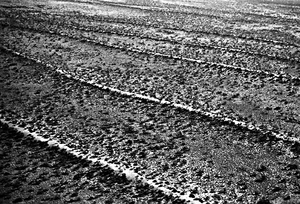
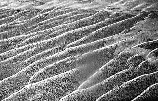
Figure E-17.3 and Figure E-17.4 are linear dunes in the Great Victoria Desert south of the Great Sandy Desert. The vegetation in Figure E-17.3 changes between the slipfaces of the dunes and the interdunal corridor, which is possibly due to a composition change between the dunes and the interdunal areas. This is not the case in Figure E-17.4; note the Y joins of some of the dunes. As seen in these figures and on the Plate, the crests of the dunes are generally free of vegetation.
| Figure E-17.3 | Figure E-17.4 |
|---|---|
 |
 |
Langford-Smith (1982) states that no solid field evidence indicates the time of the initiation of the sand sheets dunes. However, he feels that they are essentially Late Pleistocene in age. They extend well beyond the present desert as fixed dunes. Langford-Smith proposes that the dune pattern is the product of eolian activity brought on by a dry climate related to glaciation elsewhere. He reports that a group of coastal dunes near the Great Sandy Desert extends beyond the present shoreline to at least 15 m below sea level, indicating drowning during postglacial sea-level rise.
| Figure E-17.5 |
|---|
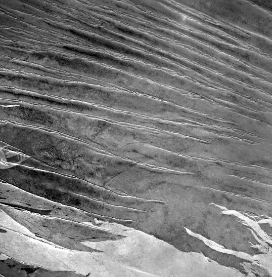 |
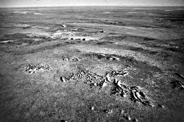
Compare the Plate with Figure E-17.5, a vertical aerial photograph of a 20-km wide area located in the bottom left of the Plate. The conspicuous light-toned patches at the bottom of the photograph and similar patterns over much of the Plate were created by fires that burned the vegetation. Owing to the lower resolution of the Plate image, it is difficult to pair most of the linear dunes in the figure with those in the image. Landsat 20125-01100-7, May 27, 1975.
Continue to Plate E-18| Chapter 8 Table of Contents.| Return to Home Page| Complete Table of Contents